File:MRmap.PNG
From IBWiki
Jump to navigationJump to search
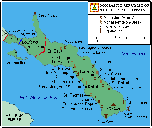
Size of this preview: 497 × 419 pixels.
Original file (497 × 419 pixels, file size: 20 KB, MIME type: image/png)
Largely based on http://commons.wikimedia.org/wiki/File:Karta_Athos.PNG
File history
Click on a date/time to view the file as it appeared at that time.
| Date/Time | Thumbnail | Dimensions | User | Comment | |
|---|---|---|---|---|---|
| current | 23:07, 5 July 2009 | | 497 × 419 (20 KB) | Benkarnell (talk | contribs) | Some cosmetic and dialectical changes, add lighthouses and bodies of water |
| 14:15, 19 February 2009 | 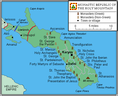 | 497 × 404 (20 KB) | Benkarnell (talk | contribs) | Improve title.. sorry | |
| 10:48, 19 February 2009 | 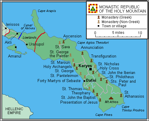 | 497 × 404 (20 KB) | Benkarnell (talk | contribs) | Add canal | |
| 13:42, 16 February 2009 | 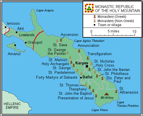 | 497 × 404 (20 KB) | Benkarnell (talk | contribs) | ||
| 10:42, 16 February 2009 | 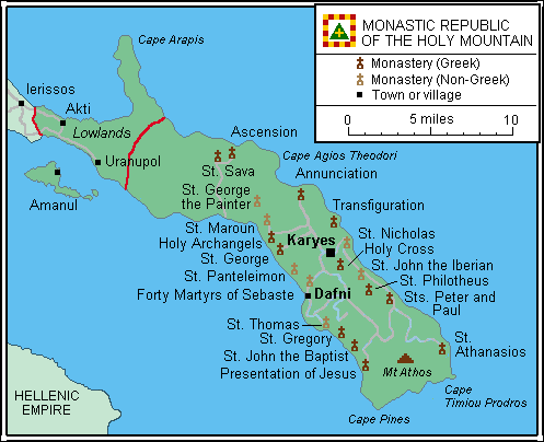 | 497 × 404 (20 KB) | Benkarnell (talk | contribs) | Largely based on http://commons.wikimedia.org/wiki/File:Karta_Athos.PNG Category:Monastic Republic Category:Maps of Europe |
You cannot overwrite this file.
File usage
The following page uses this file:


