File:Pakštuvosplanas4.PNG
From IBWiki
Jump to navigationJump to search

Size of this preview: 800 × 490 pixels. Other resolution: 1,000 × 613 pixels.
Original file (1,000 × 613 pixels, file size: 40 KB, MIME type: image/png)
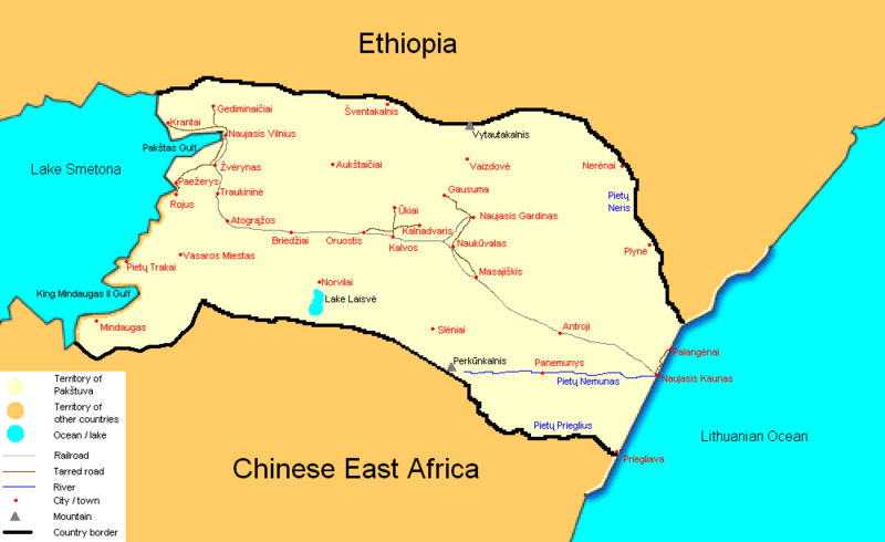
Map of Pakštuva (as of 1941) with the Lithuanian toponyms and hydronyms.
This page was created by Abdul-aziz. |
File history
Click on a date/time to view the file as it appeared at that time.
| Date/Time | Thumbnail | Dimensions | User | Comment | |
|---|---|---|---|---|---|
| current | 10:31, 27 June 2007 | | 1,000 × 613 (40 KB) | Abdul-aziz (talk | contribs) | |
| 10:21, 27 June 2007 | 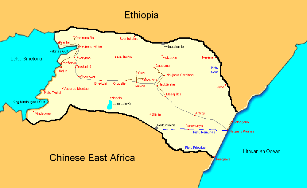 | 1,000 × 613 (37 KB) | Abdul-aziz (talk | contribs) | Map of Pakštuva (as of 1941) with the Lithuanian toponyms and hydronyms. {{abdul-aziz}} |
You cannot overwrite this file.
File usage
The following page uses this file: