File:Moresnet.png
From IBWiki
Size of this preview: 354 × 599 pixels
Full resolution (601 × 1,017 pixels, file size: 120 KB, MIME type: image/png)
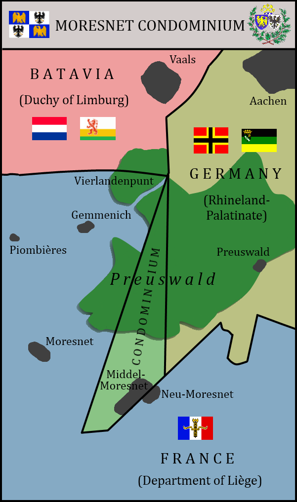
Map of Moresnet Condominium. Landkarte des Kondominiums Moresnet Carte du Condominium de Moresnet Kaart van de Condominium Moresnet
File history
Click on a date/time to view the file as it appeared at that time.
| Date/Time | Thumbnail | Dimensions | User | Comment | |
|---|---|---|---|---|---|
| current | 15:09, 23 March 2015 | | 601×1,017 (120 KB) | Benkarnell (Talk | contribs) | (New flags for Moresnet and Limburg) |
| 19:51, 29 September 2013 | 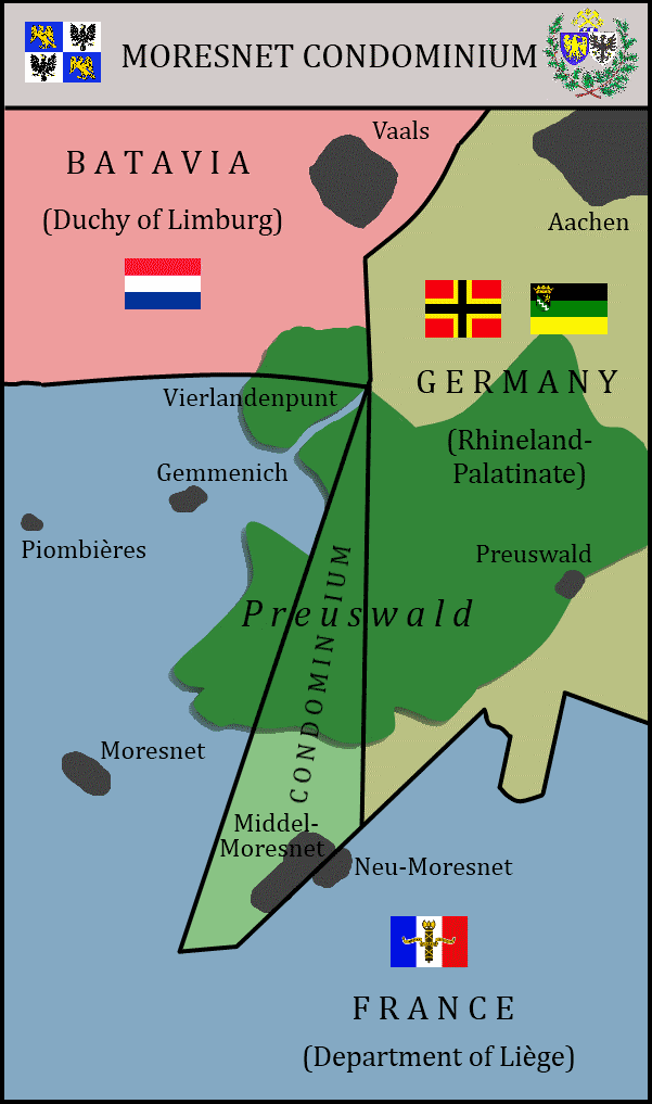 | 601×1,017 (53 KB) | Benkarnell (Talk | contribs) | (Map of Moresnet Condominium. Landkarte des Kondominiums Moresnet Carte du Condominium de Moresnet Kaart van de Condominium Moresnet Category:Maps of France) |
- Edit this file using an external application (See the setup instructions for more information)
File links
The following page links to this file: