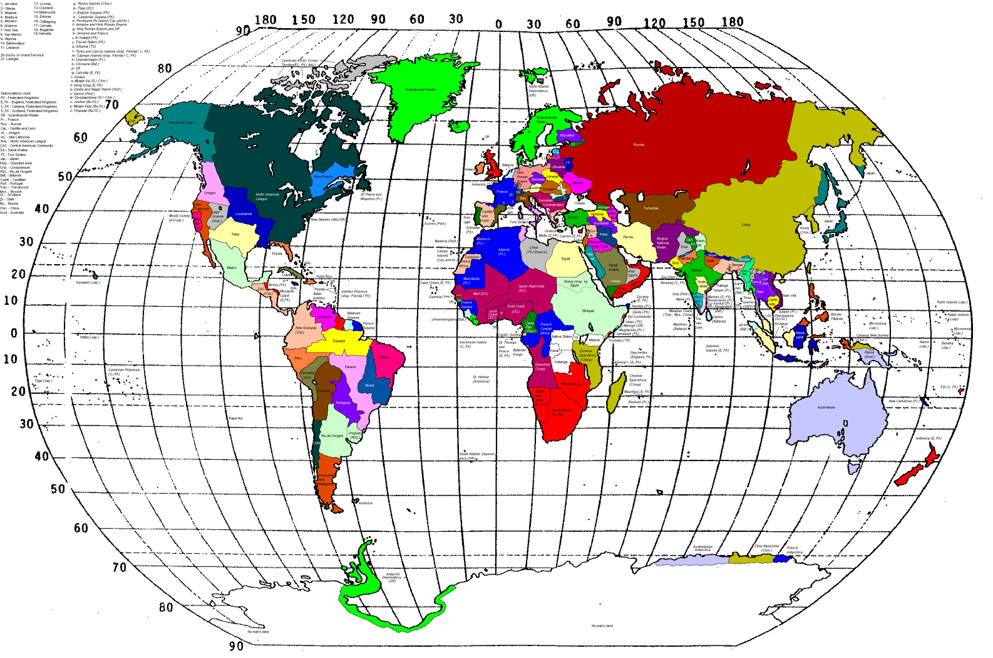
World map (1925)
From IBWiki
Jump to navigationJump to search
| |
|---|---|
|
1895 | 1898 | 1900 | 1905 | 1913 | 1918 | 1920 | 1925 | 1930 | 1935 | 1938 | 1940 | 1942 | 1945 | 1948 | 1950 | 1955 | 1965 | 1970 | 2001 | 2006 onward |
This is the official world map of Ill bethisad following the dissolotion of the SSRS. The condominiums/disputed areas are marked in gray. The areas that are not claimed nor ruled by any state (and water areas) are white.
