File:Uyguristan Map.PNG
From IBWiki
Jump to navigationJump to search
No higher resolution available.
Uyguristan_Map.PNG (553 × 458 pixels, file size: 59 KB, MIME type: image/png)
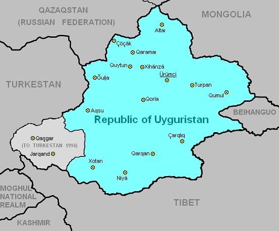
compromise proposal for Uyguristan's southern borders (see Talk:Tibet discussion about northward expansion of Tibet).
File history
Click on a date/time to view the file as it appeared at that time.
| Date/Time | Thumbnail | Dimensions | User | Comment | |
|---|---|---|---|---|---|
| current | 07:59, 24 January 2009 | | 553 × 458 (59 KB) | Geoff (talk | contribs) | compromise proposal for Uyguristan's southern borders |
You cannot overwrite this file.
File usage
The following 2 pages use this file: