Category:Maps of North America
From IBWiki
Jump to navigationJump to search
Subcategories
This category has the following 2 subcategories, out of 2 total.
Pages in category "Maps of North America"
The following 9 pages are in this category, out of 9 total.
Media in category "Maps of North America"
The following 33 files are in this category, out of 33 total.
- Altacalifornia.jpg 600 × 645; 137 KB
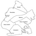
- Brckboro.jpg 513 × 509; 49 KB
- Felipia.PNG 324 × 271; 21 KB
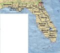
- Florida.jpg 500 × 441; 69 KB
- Hispprov.jpg 725 × 344; 55 KB
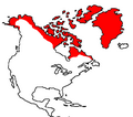
- Inuit.PNG 443 × 392; 14 KB
- Lagogrande.jpg 435 × 615; 28 KB
- Map catholic provinces 2.JPG 612 × 792; 96 KB
- Map florida rtc zoc.jpg 400 × 500; 39 KB
- Map NAL provinces.JPG 541 × 628; 73 KB
- MAP OREGON.jpg 352 × 434; 108 KB
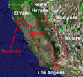
- Meidji-do.png 258 × 238; 126 KB
- Mildic Map.png 1,747 × 1,941; 126 KB
- NAL map.gif 541 × 628; 70 KB
- NAMap1872.png 1,747 × 1,941; 133 KB
- NAMap1877.png 1,747 × 1,941; 133 KB
- NAMap1883.png 1,747 × 1,941; 133 KB
- NAMap1898.png 1,747 × 1,941; 133 KB
- NAMap1899.png 1,747 × 1,941; 128 KB
- NAMap1904.png 1,747 × 1,941; 133 KB
- Nf-vm-map.png 436 × 301; 5 KB
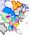
- Noram-1750.png 1,328 × 795; 133 KB
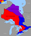
- Ontario-17s-mpa.png 510 × 593; 27 KB
- Ontario-21s-mpa.png 510 × 593; 34 KB
- Southfloridaprop.jpg 600 × 507; 214 KB
- Viceregal Collage Map.png 1,747 × 1,941; 128 KB
- Map pentapolis.jpg 1,919 × 1,547; 684 KB
- Map tch system 2009.jpg 937 × 792; 126 KB
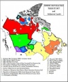
- Map unincorporated territory 2009.jpg 558 × 671; 87 KB
- Meidji-do-lr.png 1,082 × 742; 1.5 MB
- Nal-slc-languages.png 532 × 463; 32 KB
- NAMap2004.png 1,152 × 792; 535 KB
- Tejas map.PNG 606 × 503; 25 KB

