File:Proposedsask.png
From IBWiki
Jump to navigationJump to search
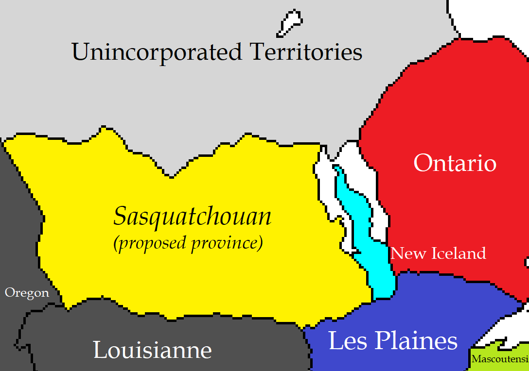
Size of this preview: 800 × 562 pixels. Other resolution: 1,088 × 764 pixels.
Original file (1,088 × 764 pixels, file size: 33 KB, MIME type: image/png)
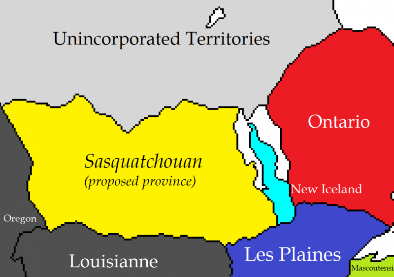
Map of the southern region of the UT and surrounding environs, showing the proposed province of Sasquatchouan.
File history
Click on a date/time to view the file as it appeared at that time.
| Date/Time | Thumbnail | Dimensions | User | Comment | |
|---|---|---|---|---|---|
| current | 16:36, 15 March 2018 | | 1,088 × 764 (33 KB) | Celeste Lavender (talk | contribs) | Corrected spelling. |
| 14:54, 15 March 2018 | 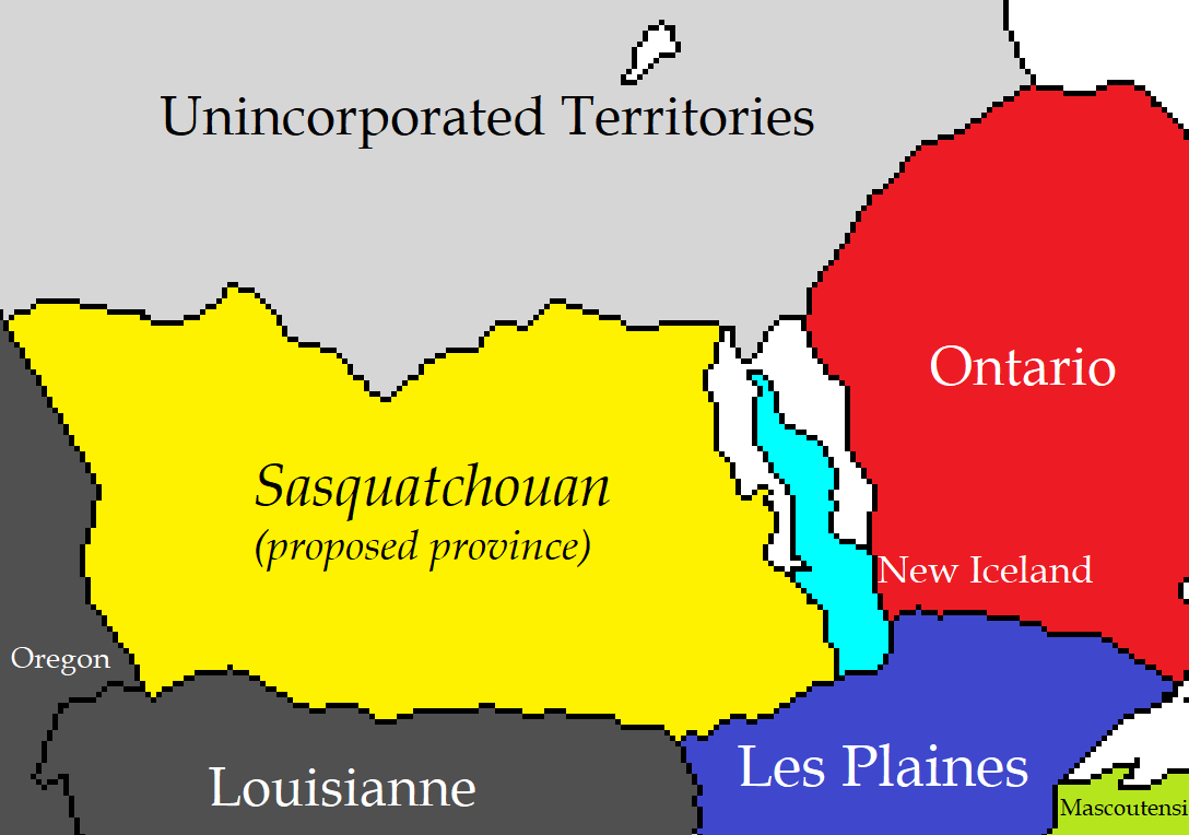 | 1,088 × 764 (33 KB) | Celeste Lavender (talk | contribs) | ||
| 14:06, 15 March 2018 |  | 1,088 × 764 (33 KB) | Celeste Lavender (talk | contribs) | Reverted to version as of 21:05, 15 March 2018 | |
| 14:05, 15 March 2018 | 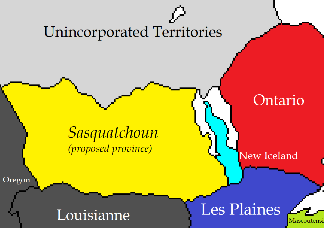 | 1,088 × 764 (33 KB) | Celeste Lavender (talk | contribs) | ||
| 14:05, 15 March 2018 | 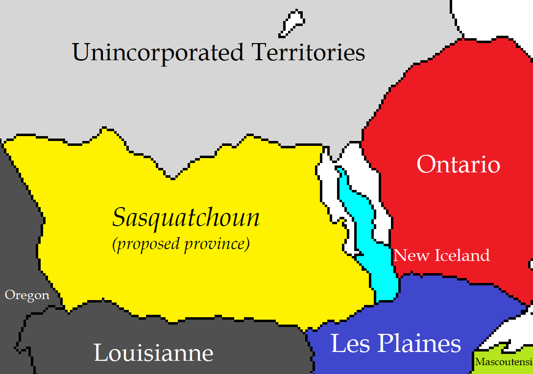 | 1,088 × 764 (33 KB) | Celeste Lavender (talk | contribs) | Made distinction between NAL and not NAL clearer, also centred the labels. | |
| 13:59, 15 March 2018 | 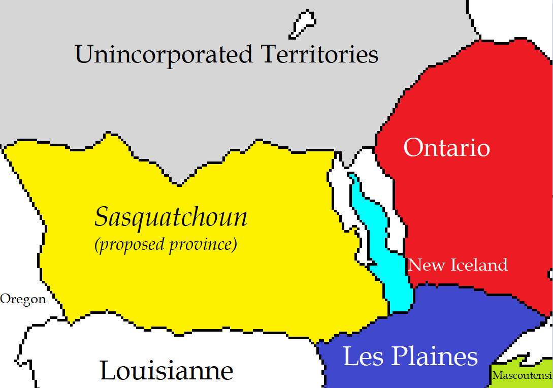 | 1,089 × 764 (33 KB) | Celeste Lavender (talk | contribs) | Map of the southern regions of the UT and surrounding environs, showing the proposed province of Sasquatchoun. |
You cannot overwrite this file.
File usage
There are no pages that use this file.