File:Turkestan map.PNG
From IBWiki
Jump to navigationJump to search
No higher resolution available.
Turkestan_map.PNG (645 × 412 pixels, file size: 37 KB, MIME type: image/png)
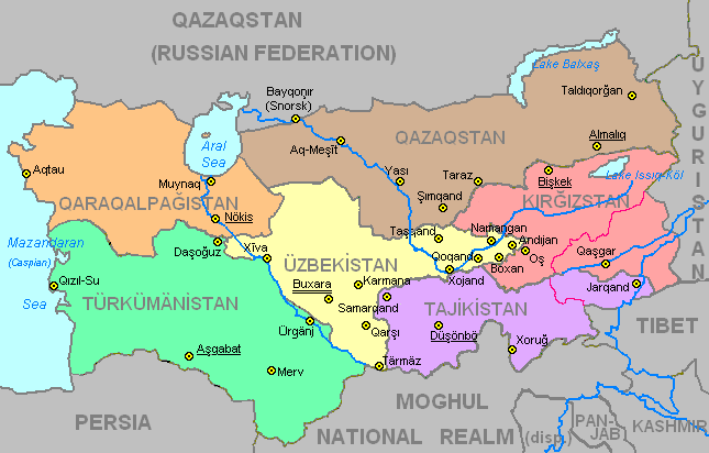
Map of Turkestan with administrative divisions
File history
Click on a date/time to view the file as it appeared at that time.
| Date/Time | Thumbnail | Dimensions | User | Comment | |
|---|---|---|---|---|---|
| current | 14:56, 5 July 2009 | | 645 × 412 (37 KB) | Geoff (talk | contribs) | Changed local name of Caspian Sea |
| 05:47, 30 January 2009 |  | 645 × 412 (37 KB) | Geoff (talk | contribs) | Category:Maps of Turkestan | |
| 05:22, 29 January 2009 |  | 645 × 412 (37 KB) | Geoff (talk | contribs) | Category:Maps of Turkestan]] | |
| 20:52, 12 December 2008 |  | 645 × 412 (37 KB) | Geoff (talk | contribs) | ||
| 02:21, 7 August 2008 | 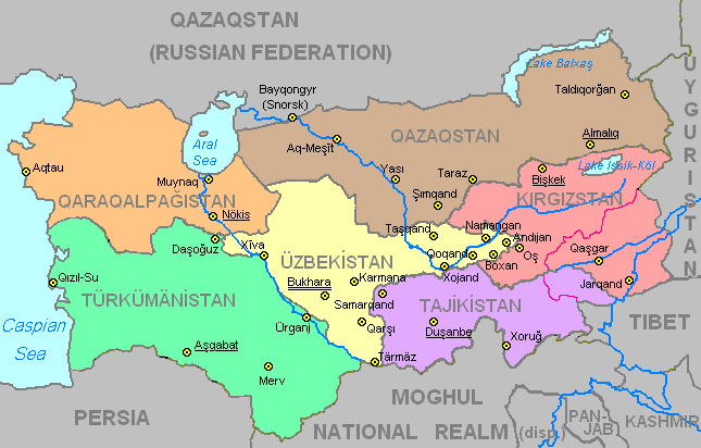 | 645 × 412 (37 KB) | Geoff (talk | contribs) | New Turkestan map with internal borders | |
| 17:54, 19 July 2008 |  | 645 × 412 (29 KB) | Geoff (talk | contribs) | Map of Turkestan without administrative boundaries - spellings corrected | |
| 17:52, 19 July 2008 |  | 645 × 412 (29 KB) | Geoff (talk | contribs) | Map of Turkestan without administrative boundaries | |
| 08:31, 19 July 2008 |  | 645 × 412 (29 KB) | Geoff (talk | contribs) | Map of Turkestan without administrative divisions |
You cannot overwrite this file.
File usage
The following page uses this file: