Category:Maps of Louisianne
From IBWiki
Jump to navigationJump to search
Media in category "Maps of Louisianne"
The following 38 files are in this category, out of 38 total.
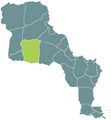
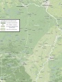
 Alparg.jpg 475 × 515; 31 KB
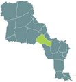
 Alpesrocheuses.jpg 475 × 515; 31 KB
 Aurillac.jpg 475 × 515; 31 KB
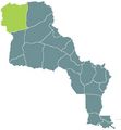 Bretagne.jpg 475 × 515; 30 KB
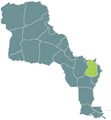
 Cotchat.jpg 475 × 515; 30 KB
 Cotedor.jpg 475 × 515; 31 KB
 Daquota.jpg 475 × 515; 31 KB
 Dordogne.jpg 475 × 515; 31 KB
 Garonne.jpg 475 × 515; 31 KB
 Gascogne.jpg 475 × 515; 31 KB
 Karte New Orleans MKL1888.png 738 × 511; 157 KB
 Lasalle.jpg 475 × 515; 30 KB
 Loineu.jpg 475 × 515; 30 KB
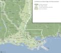
 Louadmin.jpg 475 × 515; 104 KB
 Lsurm.jpg 475 × 515; 39 KB
 Mississ.jpg 475 × 515; 30 KB
 Mizouri.jpg 475 × 515; 30 KB
 Ncorn.jpg 475 × 515; 26 KB
 Newcornwallmap.jpg 2,233 × 2,182; 794 KB
 Newgaullemap.jpg 1,484 × 1,231; 225 KB
 Newnavarra.jpg 2,153 × 1,325; 506 KB
 Ngaul.jpg 475 × 515; 26 KB
 Nnav.jpg 475 × 515; 26 KB
 Nyobrara.jpg 475 × 515; 31 KB
 Omara.jpg 475 × 515; 31 KB
 Osage.jpg 475 × 515; 26 KB
 Osagecities.jpg 1,407 × 1,802; 386 KB
 Oto.jpg 475 × 515; 31 KB
 Ozarq.jpg 475 × 515; 31 KB
 Pontch.jpg 475 × 515; 31 KB
 Psurm.jpg 475 × 515; 31 KB
 Rocheuses.jpg 475 × 515; 31 KB
 Saint-louis.jpg 929 × 1,240; 209 KB
 Saintongemapsm.JPG 885 × 773; 84 KB
 Stlou.jpg 475 × 515; 26 KB
 Stloucity.jpg 475 × 515; 31 KB
 Stong.jpg 475 × 515; 26 KB
 Tplatte.jpg 475 × 515; 31 KB


